Description
A classic hike for people living in Grenoble, where the large grassy meadows of the plateau and their multitude of lakes stand alongside the rocky summits.
Altitude climb + : 420 m
Climb : 3h30
Start : Alpe du Grand Serre
Difficulty : medium Map : Top 25 IGN 3335 OTR Grenoble/ Chamrousse/Belledonne Trail map « Pays du Valbonnais »
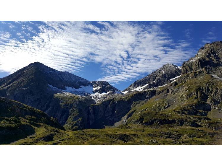
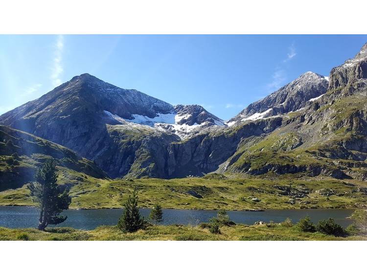
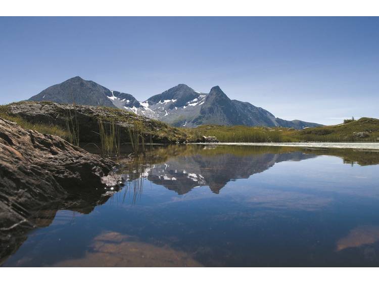
This family hike takes you on a discovery of the Plateau of Taillefer and landscapes that remind us of the humid Scottish moors. By contrast, the landscape made up of the nearby Taillefer, the Rocher Culasson and the Grand Galbert, adds a rather «Alpine» touch to the wide spaces of the plateau, whilst in the distance, the eye meets the massif of Oisans. From the car park of Poursollet, follow the GR 50 between the chalets and past the Bar du Taillefer. Keep on going up through the meadows then under the Culasson, leading to the Plateau of Taillefer. Follow the path to the left going slightly downhill to get to Lake Fourchu. Return by the same route.
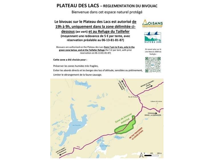
The plateau of Lake Fourchu is an immensely rich but fragile ecosystem. Please respect this sensitive ecosystem (NATURA 2000 classification) as well as private properties, by keeping to the marked trails.
Track
- Distance:
- 10 km
- Level difference:
- 420 m
- Daily duration:
- 4h
- Level:
- Level bue - Medium
- Type:
- Round-trip
Rates
Free of charge.