Description
This tour is a major alpine hike, yet accessible. A timeless journey through rural valleys and mountain villages, waterfalls, lakes, and high plateaus. Discover three unspoiled mountain valleys and get up close to the towering peaks of the Écrins.
Learn moreFrom Alpe du Grand Serre, take a leap back in time and dive into the intimacy of an authentic valley, passing from the modern landscapes of a ski resort to a typical and secret mountain hamlet bordered by the Rif-Bruyant stream.
– Stage: 12 km and 551 m ascent
The next day, from the wild Rif-Bruyant valley, walk through the peaceful Roizonne valley. Cross the old traditional bridge between two valleys, pass through the town of Valbonnais and its lake before reaching Entraigues.
– Stage: 17 km and 543 m ascent
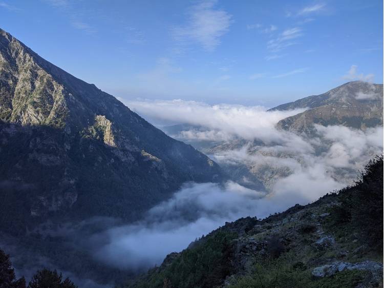
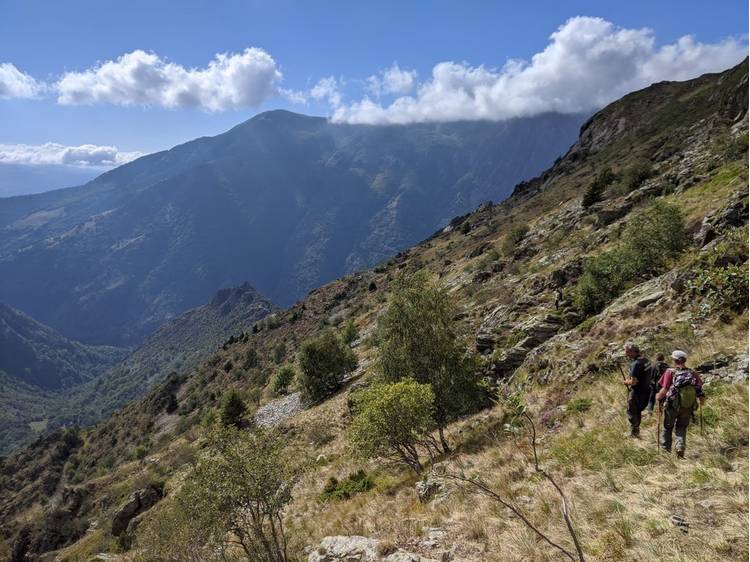
For this 3rd day, the itinerary starts by following the Bonne, then the Malsanne, to lead you toward the Col d'Ornon, which takes shape in the distance, between the Écrins peaks and the Taillefer massif. The climb begins in a bucolic landscape and rises toward the imposing chiseled peaks.
– Stage: 16.5 km and 779 m ascent
This new stage is the opportunity to go from the Valbonnais to the Oisans, discovering the second-highest village in France by crossing the Col de Corbières (1926 m).
– Stage: 9.5 km and 630 m ascent
Day 5, the itinerary takes off from the alpine oasis of Villard-Reymond, to descend into the deep valley of the Lignarre, reach the village of Ornon, and climb again onto the Taillefer plateau.
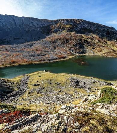
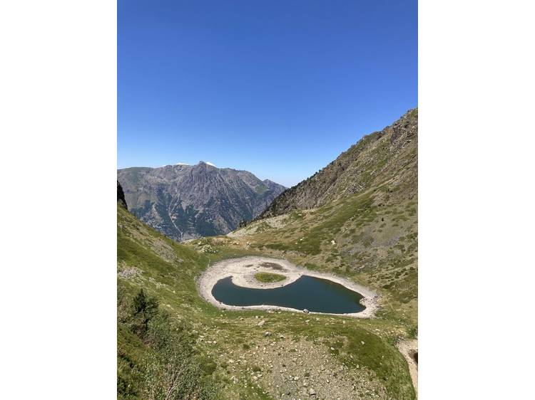
Finally, the last stage walks through unique landscapes, across the high plateaus of Taillefer overlooked by the summit of the same name, with its many lakes, its indescribable atmosphere, and its rare and protected species.
– Stage: 13 km and 266 m ascent
5-day variant: Col d'Ornon – Ornon – Refuge du Taillefer
This stage replaces stages 5 and 6.
After crossing several hamlets characteristic of mountain housing, you leave the forest and torrents behind to rise into the alpine pastures. The view opens onto the peaks, revealing the Écrins and the Taillefer.
– Stage: 10.3 km and 1050 m ascent
Track
- Distance:
- 77 km
- Level difference:
- 3850 m
- Daily duration:
- 6d
- Roaming duration:
- 6 day
- Level:
- Walkers/hikers, Level bue - Medium
- Type:
- One way
Equipments
- Charging stations for electric vehicles
- Pets welcome