
 en
en
 Français
Description
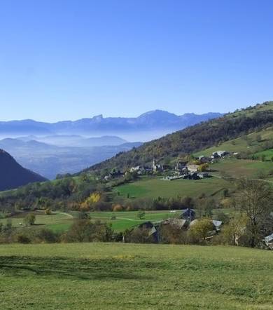
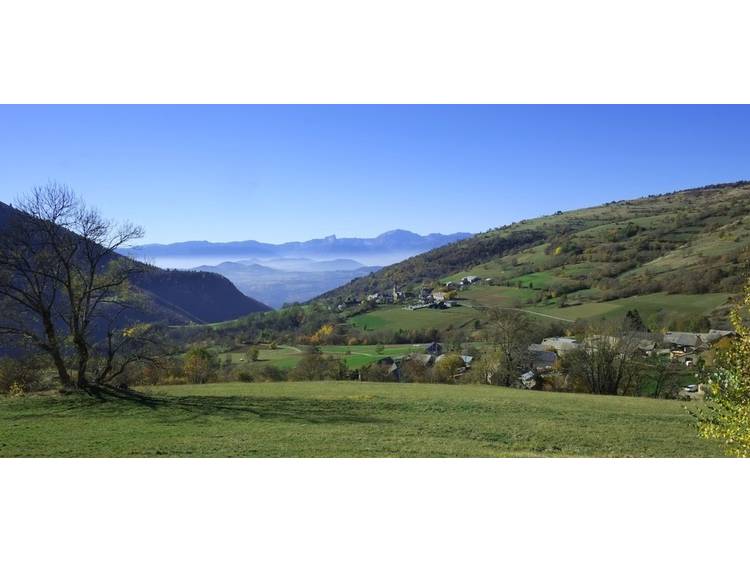
A route that alternates between agricultural and forest areas on both sides overlooking the Bonne river.
Learn moreAt the start, the route begins with a long descent into the forest to reach the Bonne in its deep valley. Its then crossed the river through a bridge whose construction recalls the layout of an old railway track never completed. The first ascent leads to the top of Siévoz, in a landscape where mountain agriculture is well present. The descent enters the forest, finds an agricultural setting, then crosses the village of Siévoz before continuing to the Bonne. The second ascent takes place in a more forested atmosphere, before reaching Saint‐Laurent and its bucolic atmosphere.
Rates
Free access.
Opening date
All year round daily.
Equipments
- Car park
- Free car park
- Parking nearby
- Pets welcome