Visitor alert
The site experiences very high visitor numbers during the summer season. We recommend discovering this place in spring or autumn, when the weather allows. Take advantage of weekdays outside school holidays and avoid weekends.
Description
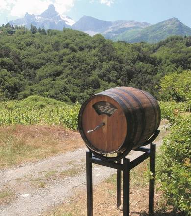
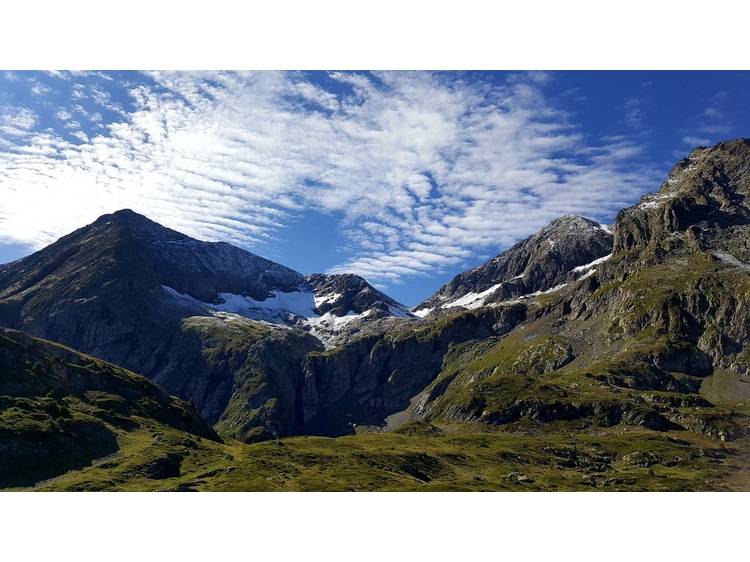
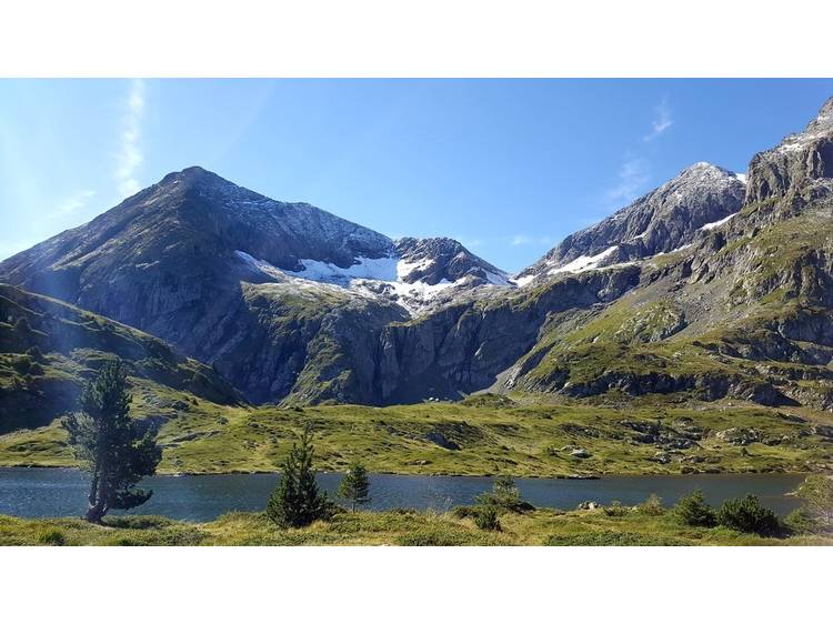
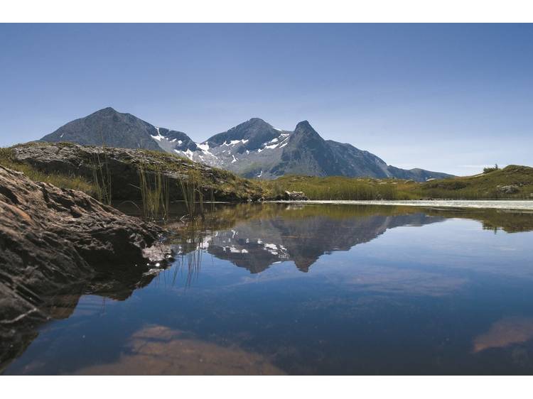
A classic hike for people living in Grenoble, where the large grassy meadows of the plateau and their multitude of lakes stand alongside the rocky summits.
Learn moreElevation gain: 420 m
Ascent time: 3h30
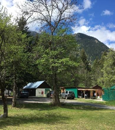
Start: Alpe du Grand Serre
Difficulty: Medium
Map: Top 25 IGN 3335 OTR Grenoble / Chamrousse / Belledonne
Trail map: “Pays du Valbonnais”
Route
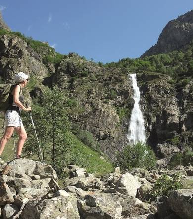
From the Poursollet lake parking lot, follow the GR 50 trail that runs between the chalets and past the Bar du Taillefer. Continue climbing through alpine pastures and beneath the Rocher Culasson, which leads to the Taillefer plateau. Descend slightly to the left to reach Lac Fourchu. Return via the same path.
Details:
This family-friendly hike takes you to the heart of the Taillefer plateau, with its landscapes reminiscent of the Scottish Highlands. In contrast, the surrounding peaks — the Taillefer, Rocher Culasson, and Grand Galbert — create a strikingly alpine backdrop, while distant views open up onto the Oisans mountain range.
Track
- Distance:
- 10 km
- Level difference:
- 420 m
- Daily duration:
- 4h
- Level:
- Walkers/hikers, Level bue - Medium
- Type:
- Round-trip
Equipments
- Parking nearby