Description
A challenging hike that starts in a warm south facing atmosphere before changing to a wilder more alpine one.
Learn moreA steep climb that gives off Mediterranean scents.
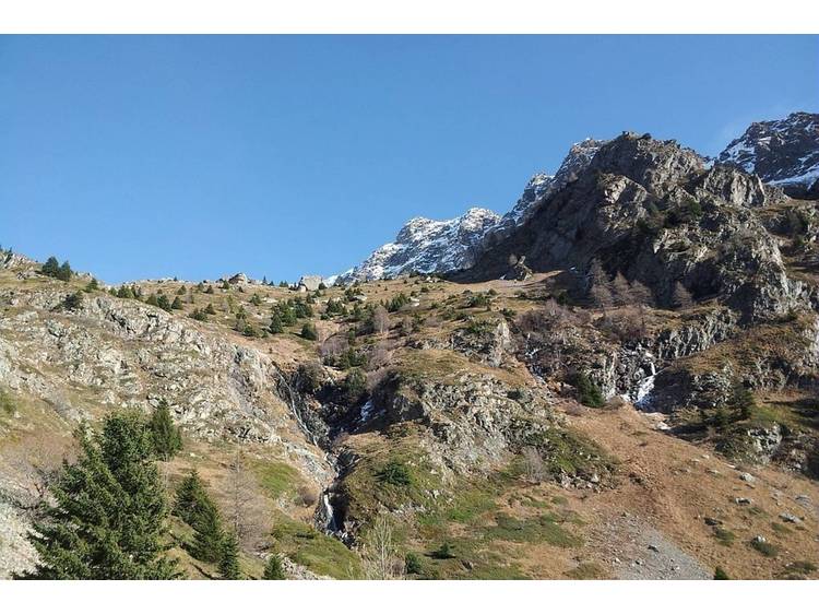
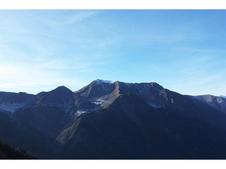
The first climb is across a warm, dry hillside, amidst heather moors and orchid-filled lawns, and opens up progressively into a panoramic view of the Vercor foothills.
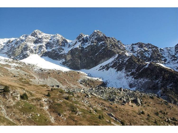
The footpath then leads into a cooler high mountain setting.
At the end of the valley, it is not rare to see a few calm chamois grazing on the fine grass amongst the scree.
Marion Digier, Heritage technician in the Valbonnais area.
Documents to download
Track
- Distance:
- 6 km
- Level difference:
- 992 m
- Daily duration:
- 5h 30min
- Level:
- Level red – hard
- Type:
- Round-trip
Situation
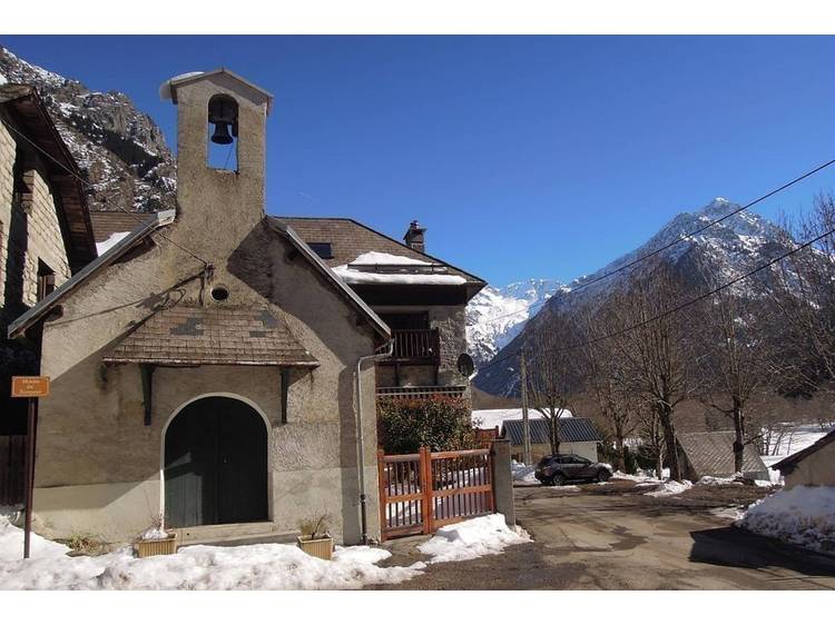
Departure : La Chalp hamlet, Valjouffrey.
Road access : From Entraigues, take the D117 road towards Valjouffrey.
La Chalp-en-Vajouffrey is the 3rd hamlet after Entraigues..
Parking recommended : Either, the car park on the way out of La Chalp towards Désert-en-Jouffrey or on the chapel square next to the fountain. .
Public transport : Bus from La Mure to Entraigues - Route 4120 Isere Conseil Général. Connection at « Entraigues Place » with the local Valjouffrey service (8 seater community bus) to Désert-en-Valjouffrey
Bus times Monday: 12.45, Wednesday 12.45 (all year) and 7pm (except during school holidays) and return: Monday 6.30 am, 3.30 pm and Wednesday 6.30 am (all year). .
- Latitude: 44.871493
- Longitude: 6.031312