Description
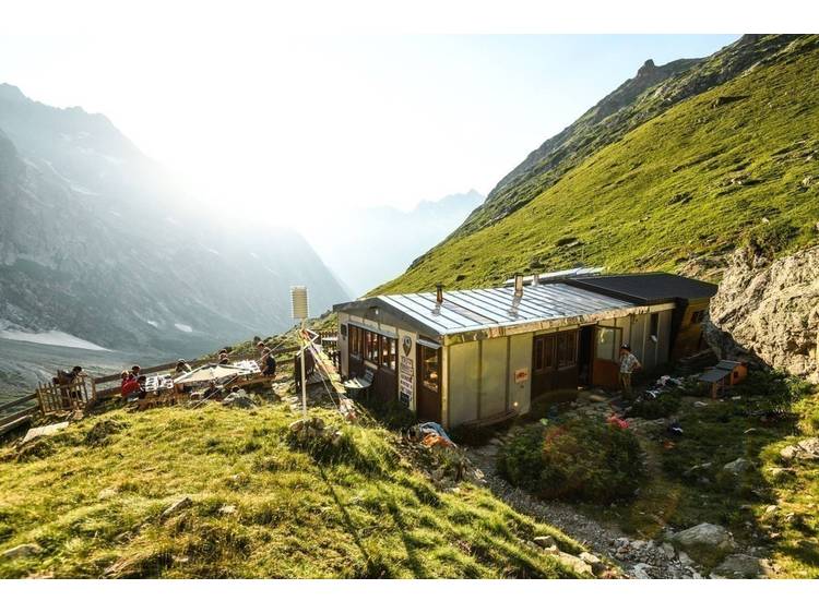
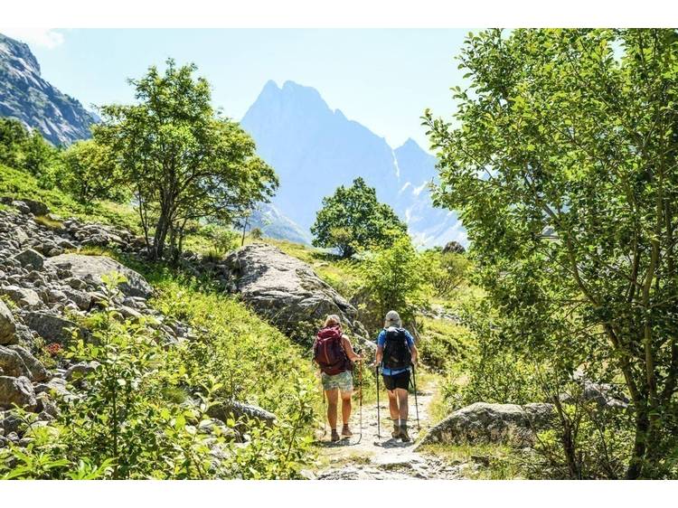
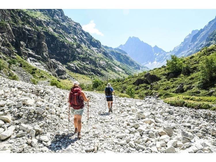
This hike ascends a magnificent valley shaped by the glaciers and ends at the refuge at the North-West face of the Olan...
Learn moreThere are many waterfalls amongst them the Ferrière cascade also called the cascade de la Pisse. Between scree and short vegetation composed of junipers, heathers, the magnificent view of the highest point of the Valbonnais territory, The Olan at an altitude of 3563 m, as well as the welcome at the refuge are the rewards for doing this hike...
Documents to download
Track
- Distance:
- 18 km
- Level difference:
- 924 m
- Daily duration:
- 5h 30min
- Level:
- Level red – hard
- Type:
- Round-trip
Situation
Departure : Le-Désert-en-Valjouffrey, Valjouffrey.
Road access : From the commune of Entraigues, take the D117 until the Désert-en-Valjouffrey hamlet. .
Parking recommended : At the entrance of Désert-en-Valjoufrey hamlet .
Public transport : No transport service at the beginning of this hike. .
- Latitude: 44.868917
- Longitude: 6.087347