Description
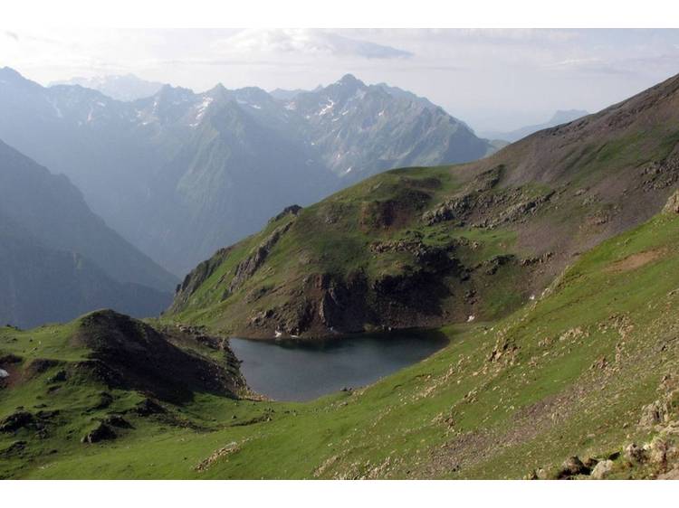
This signposted itinerary is the only one that enables you to reach the magnificent Gary Lake in the Arcanier massif that resembles a citadel.
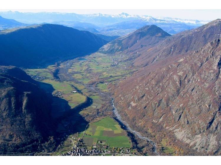
Learn moreThe path starts from the lowest point of the heart of the National Park at an altitude of 800 m. This long, demanding hike will take you across all alpine vegetation stages. The ascension along the Tête de Vêt and via the Gary Gap offer panoramic views of a good part of the Ecrins, Devoluy, Vercors et Grand Armet.
Documents to download
Track
- Distance:
- 16 km
- Level difference:
- 1941 m
- Daily duration:
- 9h 30min
- Level:
- Level red – hard
- Type:
- Round-trip
Situation
Departure : Entraigues.
Road access : On the N85, take the D526 towards Entraigues .
Parking recommended : Behind the church, Entraigues .
Public transport : Bus stop: Entraigues .
- Latitude: 44.901217
- Longitude: 5.949357