Description
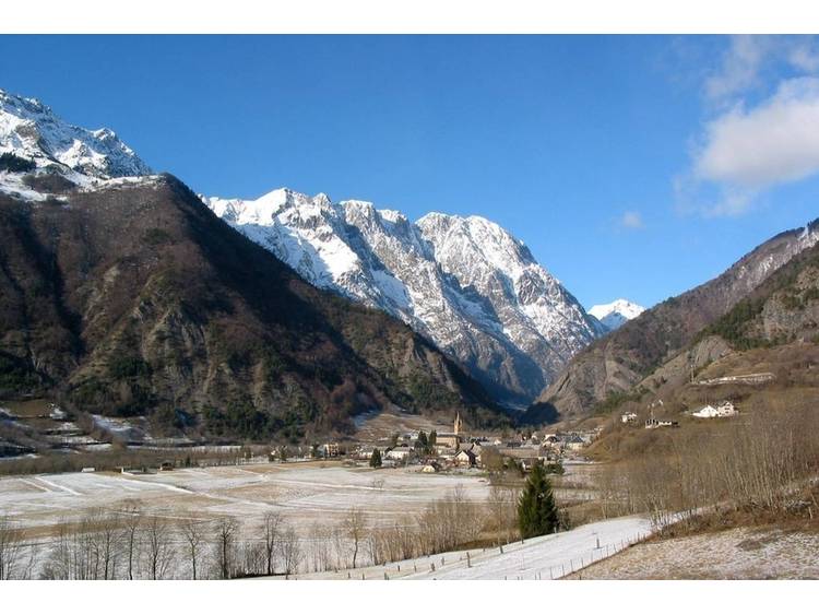
The magnificent belvedere on the agricultural plain and Périer village will be the reward for this hike.
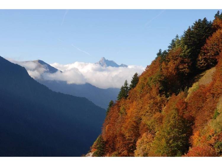
Learn moreThis well traced track leads to the hamlet of Salce which was inhabited until 1958. Next, it is steeper crossing a dry beech forest in order to reach an old hayfield at the Touret mountain pass which dominates the Tourot canyons.
Documents to download
Track
- Distance:
- 7 km
- Level difference:
- 666 m
- Daily duration:
- 3h
- Level:
- Level bue - Medium
- Type:
- Round-trip
Situation
Departure : Le Périer.
Road access : From Valbonnais take the D526, cross Entraigues and continue to Périer village. .
Parking recommended : Beside the church, Le Périer .
Public transport : Coach stop : Le Périer .
- Latitude: 44.936638
- Longitude: 5.974745