
 en
en
 Français
Description
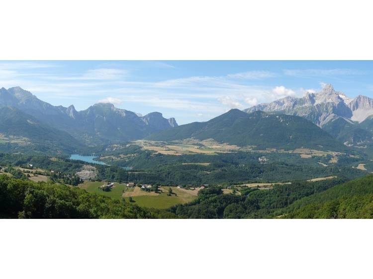
A predominantly rolling route that runs between the forest slope and the agricultural plateau.
Learn moreThe route follows a steady ascent, a low-slope crossing partly under forest cover, a descent, a short section of road, then a return by a slightly uphill agricultural path.
Rates
Free access.
Opening date
All year round daily.
Equipments
- Car park
- Free car park
- Parking nearby
- Pets welcome