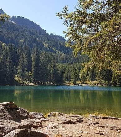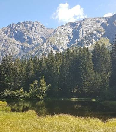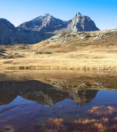
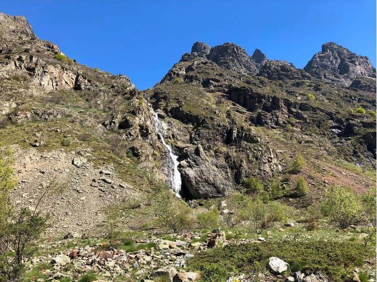
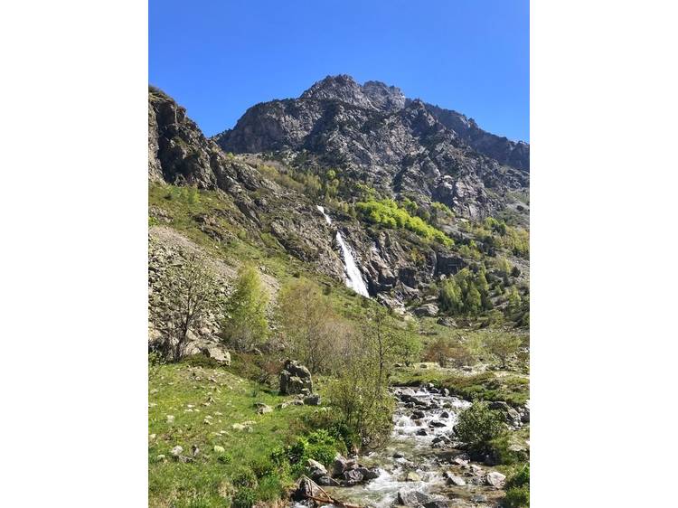
Description
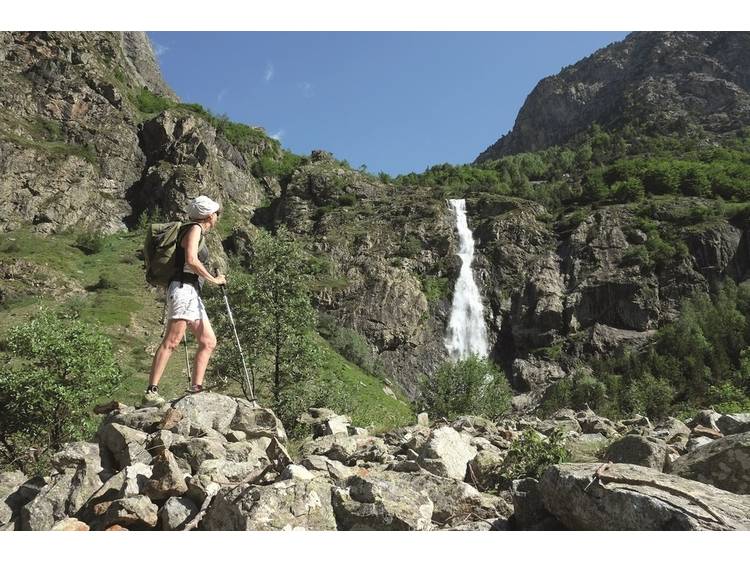
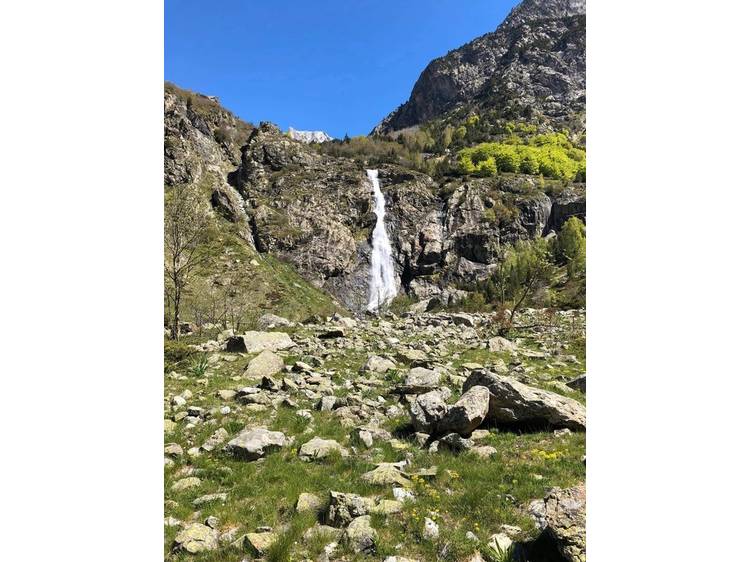
This trail allows you to safely enjoy the wild high mountain and feel the power of the elements.
Altitude climb + : 270 à 500 m
Outward walk : 3h à 4h30
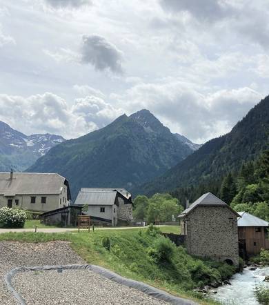
Start : Le Désert-en-Valjouffrey
Difficulty : easy to difficult Map : Top 25 IGN 3336ETR Les 2 Alpes Trail map « Pays du Valbonnais »
Track
- Distance:
- 10 km
- Level difference:
- 270 m
- Daily duration:
- 1h 30min
- Level:
- Walkers/hikers, Level green – easy, Jogger
- Type:
- Round-trip
Equipments
- Not accessible in a wheelchair
- Car park
- Free car park