Description
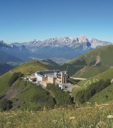
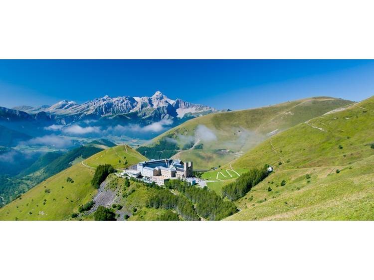
The descent from the sanctuary will allow you to take a look at your entire route, through the hamlets of the valley, then the mountain pastures, and finally, during the ascent, in the large mineral breaks. A demanding but varied itinerary.
Track
- Distance:
- 17 km
- Level difference:
- 1250 m
- Daily duration:
- 7h 15min
- Level:
- Pilgrims, Walkers/hikers, Level red – hard
- Type:
- Loop
Equipments
- Not accessible in a wheelchair
- Car park
- Pets welcome
Situation
From Grenoble take the A48 motorway, exit 8: direction Gap Briançon Vizille Stations de l’Oisans then the N85 via Vizille - Laffrey or the D529 via La Motte d'Aveillans direction Corps then the D 212c
- Latitude: 44.858630
- Longitude: 5.978804