Description
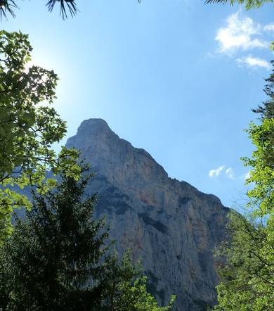
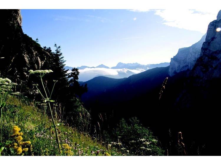
This is a forest trail, which becomes aerial along gullies, joining with alpine pastures with beautiful views over the summits of the Dévoluy, as well as over the Plateau of Pellafol and the Lake of Sautet.
Altitude climb + : 800 m
Climb : 2h30 Difficulty : difficult
Start : Car park of Gillardes (Monestier d’Ambel)
Itinerary :
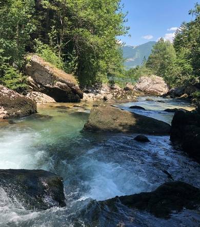
Follow the D.217 and cross the Souloise on a bridge. Shortly after, locate a sign on the right indicating the Col de l'Aup. A good yellow marked path goes up in the forest under the Grand Bréchon, it joins after a few bends a track in a bend. Follow it uphill. Shortly after a bend on the right, locate a path on the left fleeing towards the northeast. He finds the track higher up, which you follow up to the Abri du Serre du Larron where there is a sign. Head south then southeast. The path becomes steeper, it crosses two steep valleys and crosses a grassy ridge. On the other side, the path crosses over a ravine then crosses a second ridge, this one rocky. It continues above ravines, and goes up into the pasture at the Col de l'Aup.
Return by the same route.
Return option via "Les HAUTS GICONS":
Descend into the valley to the south, a good track guides us to the Cabane de l'Aup. Continue down the valley to a sign, here we take the direction of Les Gicons. Follow the track up to elevation 1359m, where you join the GR.93 rising from the hamlet of Le Collet in a bend. Follow it towards the Hauts Gicons. It crosses the Hauts Gicons, then the Bas Gicons, and heads towards the Mère Eglise. It then descends to St Disdier-en-Dévoluy, then follow the D.937 north to Pont de la Baume.
Details: The loop through the superb Vallon de l'Aup and the Hauts Gicons is worth the trip. From the Col de l'Aup, the Pic Pierroux is very accessible.
Track
- Distance:
- 9 km
- Level difference:
- 870 m
- Daily duration:
- 4h 30min
- Level:
- Walkers/hikers, Level red – hard
- Type:
- Round-trip
Rates
Free access.
Equipments
- Car park
- Pets welcome