

 en
 Français
Tour de l'Obiou
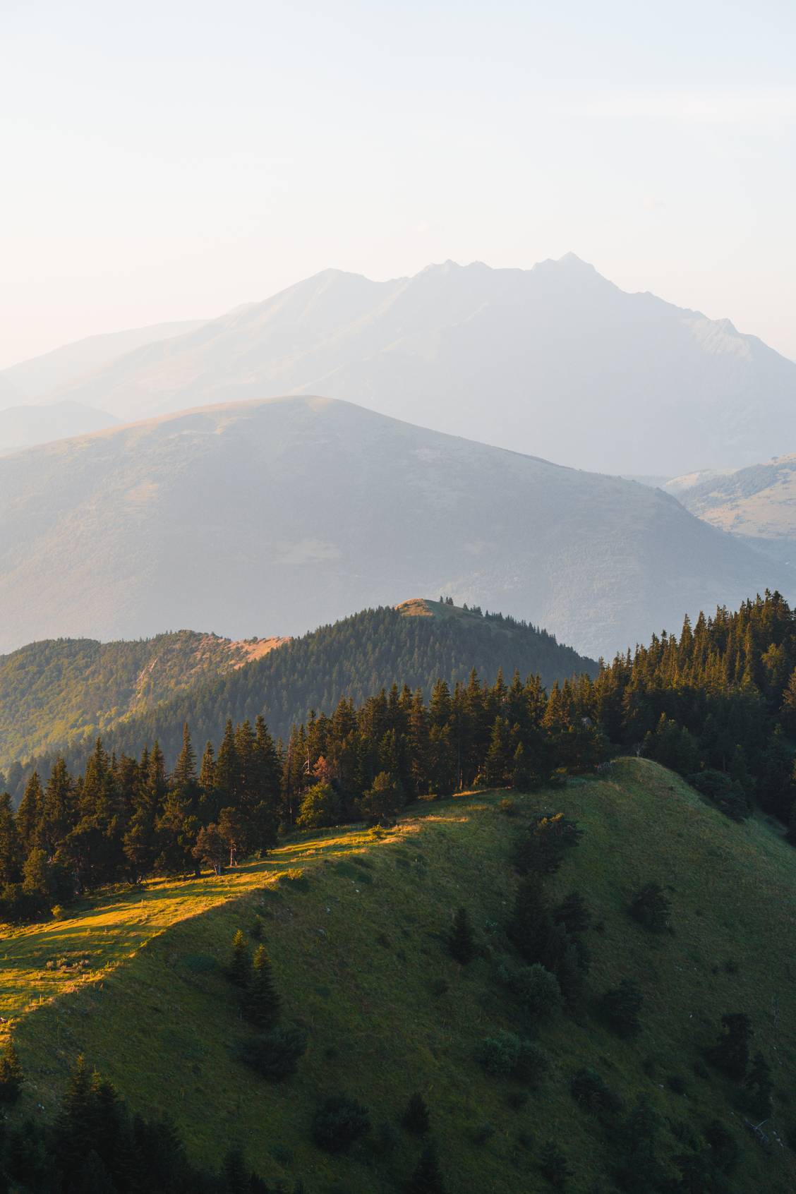
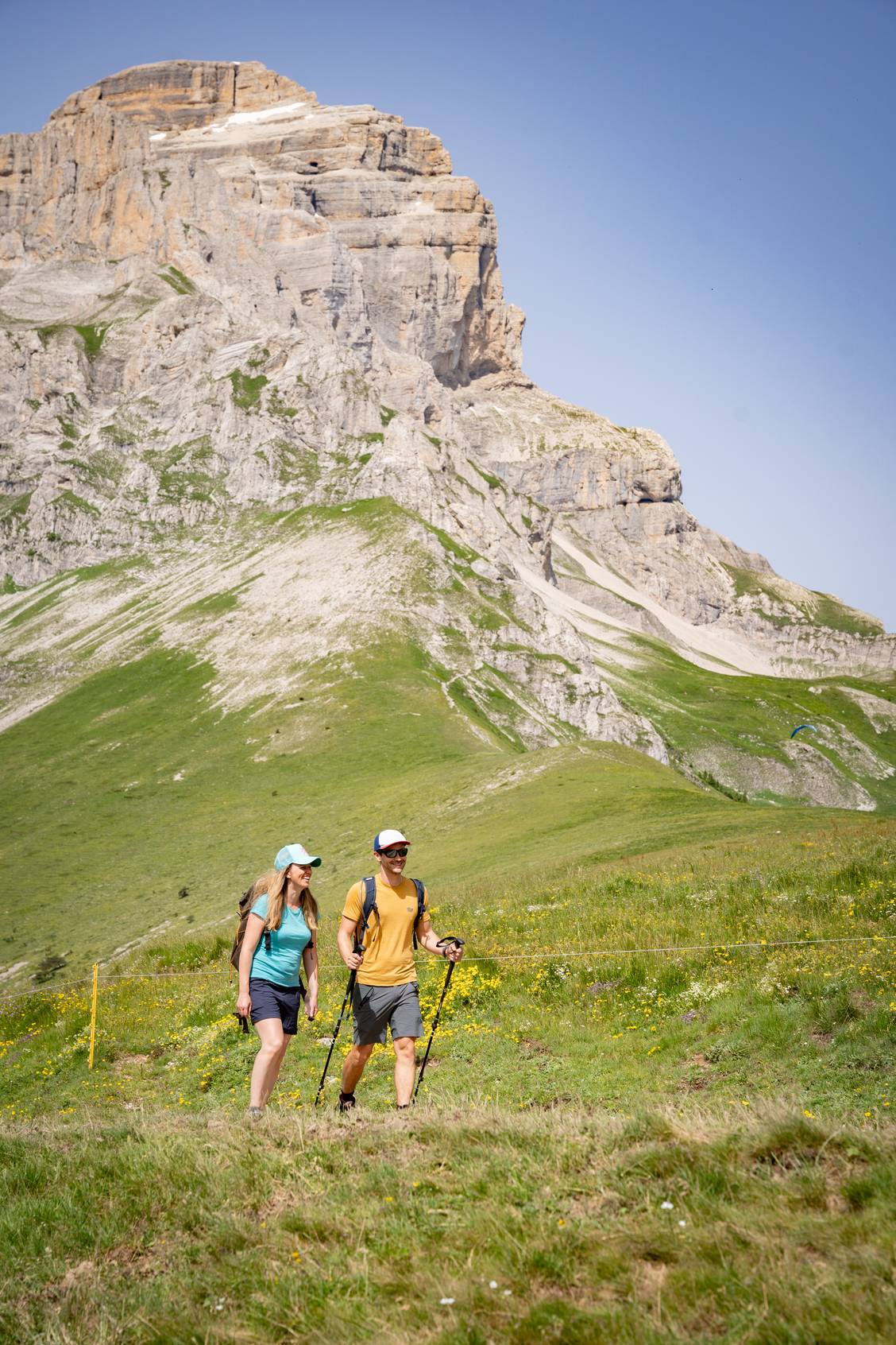
The Tour de l’Obiou is a long-distance hike traversing the wild landscapes of the Matheysine, Trièves, and Dévoluy regions. Calling all seasoned hikers: does circling this iconic peak - rising to an altitude of 2,789 meters - appeal to you?
Le Tour de l'Obiou en chiffres :
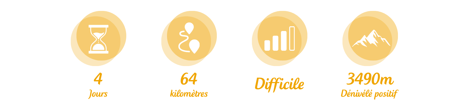
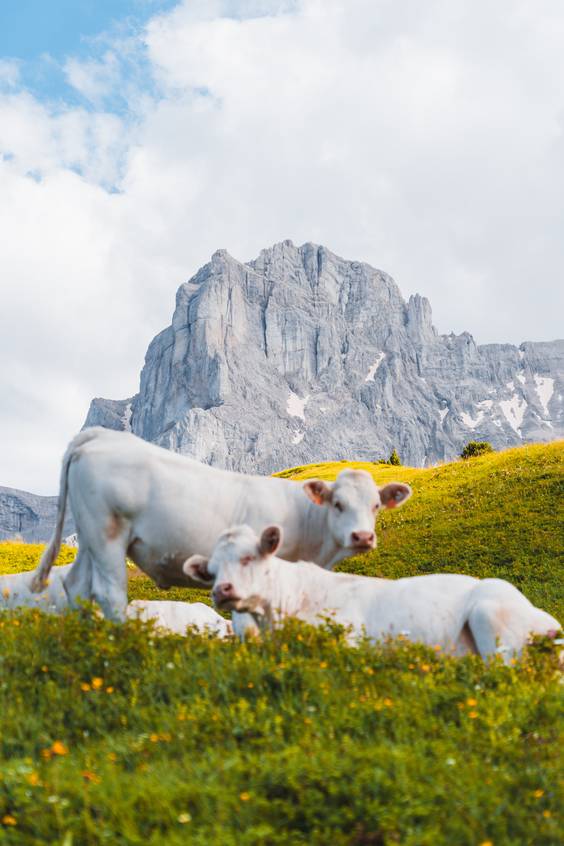
The Tour de l'Obiou offers four magnificent routes to discover:
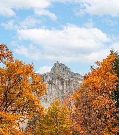
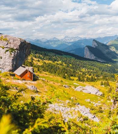
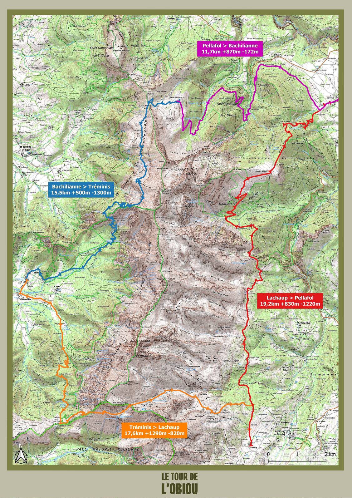
Pellafol > Bachilianne 11,7km / +870m / -172m
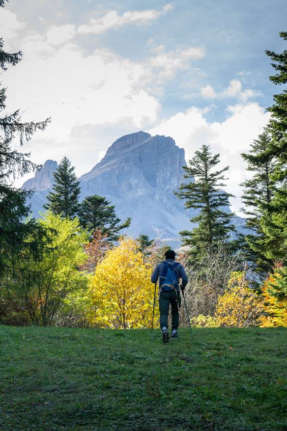
Starting from Pellafol, the first stage of this tour rises gently, following the contour lines. The route quickly leaves the meadows behind for mixed deciduous and coniferous forests, then climbs toward the Bachillianne mountain pasture, where a magnificent panoramic view of the Obiou unfolds.
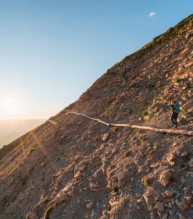
Bachilianne > Tréminis 15,5km / +500m / -1300m
Once you have climbed the Col de l’Aiguille, a breathtaking view of the surrounding landscape opens up. From there, head due south along a magnificent trail that hugs the mountainside, alternating between pastures and rocky hollows (watch out for lingering snow!). After passing through lovely clearings, the descent begins, leading down to the bed of the Ébron stream and on to Tréminis.
Tréminis > Lachaup 17,6km / +1290m / -820m
Leaving the village, the trail winds between fields and forests to reach the Col de la Croix, then climbs eastward to the Col de Charnier - the gateway to the Hautes-Alpes. Amidst a rugged, rocky landscape, descend the Charnier valley to the magnificent curved rock cliffs. The GR® trail passes alongside the Chourum Clot - an impressive chasm plunging into the depths of the massif - before reaching the hamlet of Lachaup.
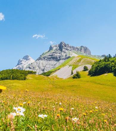
Lachaup > Pellafol 19,2km / +830m / -1220m
This pleasant, scenic traverse follows the boundary between alpine pastures and forests. At times, the trail opens up, offering glimpses of the impressive, rugged valleys of the Ferrand and Obiou ranges. The route crosses several hollows to reach the Col des Faïsses, where Mount Obiou rises up one last time. The descent begins through the forest, leading down to the village of Pellafol.
Tour de l’Obiou: a hike in the heart of a fragile heritage site
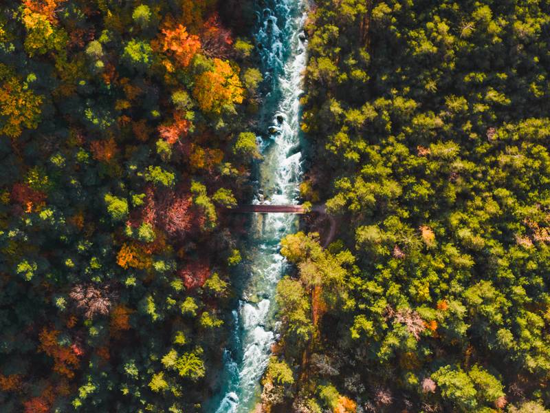
The Tour de l’Obiou is far more than just a long-distance hike; it is an immersion into a pristine natural setting. Spanning alpine pastures, shady forests, high mountain passes, and rocky landscapes, the route showcases the diverse environments that make the massif so rich, passing through several areas designated as Natura 2000 sites.
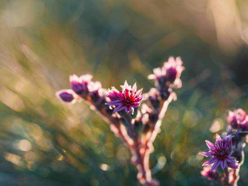
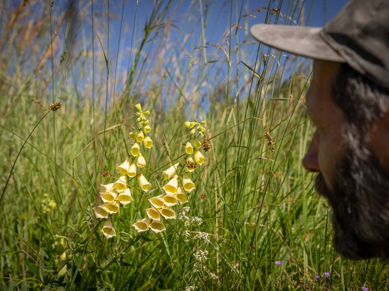
This biodiversity supports a discreet yet remarkable array of wildlife: chamois, marmots, and vultures, as well as rarer species such as the black grouse and the rock ptarmigan. As for the flora, hikers can spot iconic Alpine plants - such as orchids, the lady's-slipper orchid, and the Alpine poppy - that contribute to the unique beauty of the trail.
It is crucial to maintain this fragile balance by preserving it. Adopting the right habits in the mountains is essential: staying on the trails, respecting the flora and fauna, not picking plants, not lighting fires...
Pastoralism and livestock guardian dogs
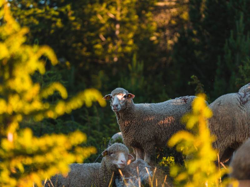
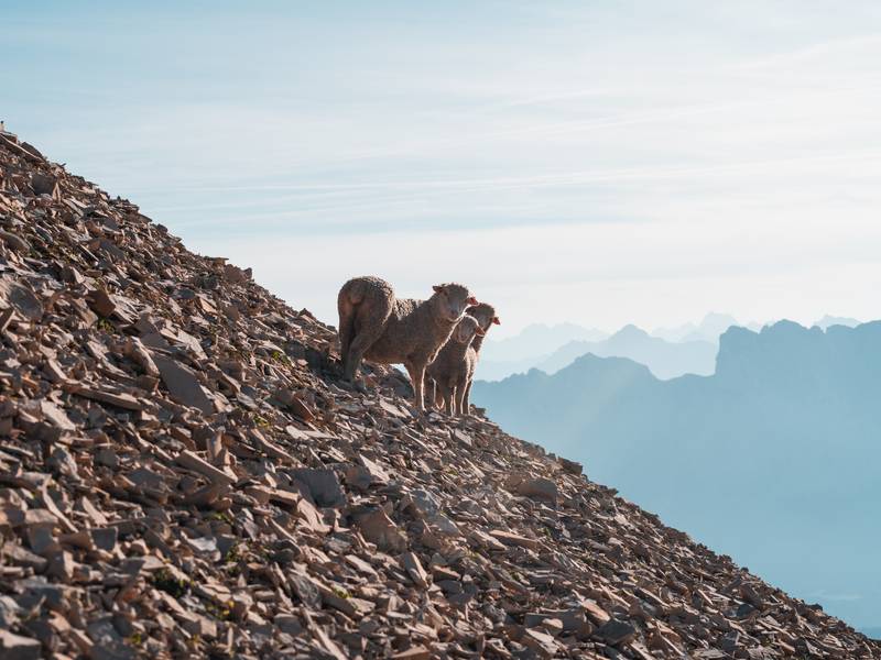
You will pass through numerous mountain pastures along the route. Pastoralism is an age-old practice that is essential for landscape preservation, biodiversity, and fire prevention. To counter the threat of predation (particularly from wolves), livestock guardian dogs are used to protect the herds.
Here are a few rules for harmonious cohabitation:
Go around the herd if possible
Make your presence known calmly
If a dog approaches, stop
Wait for it to calm down before moving on
Do not run
Do not shout, touch, or threaten it.
Bivouac and Tour of L'Obiou:
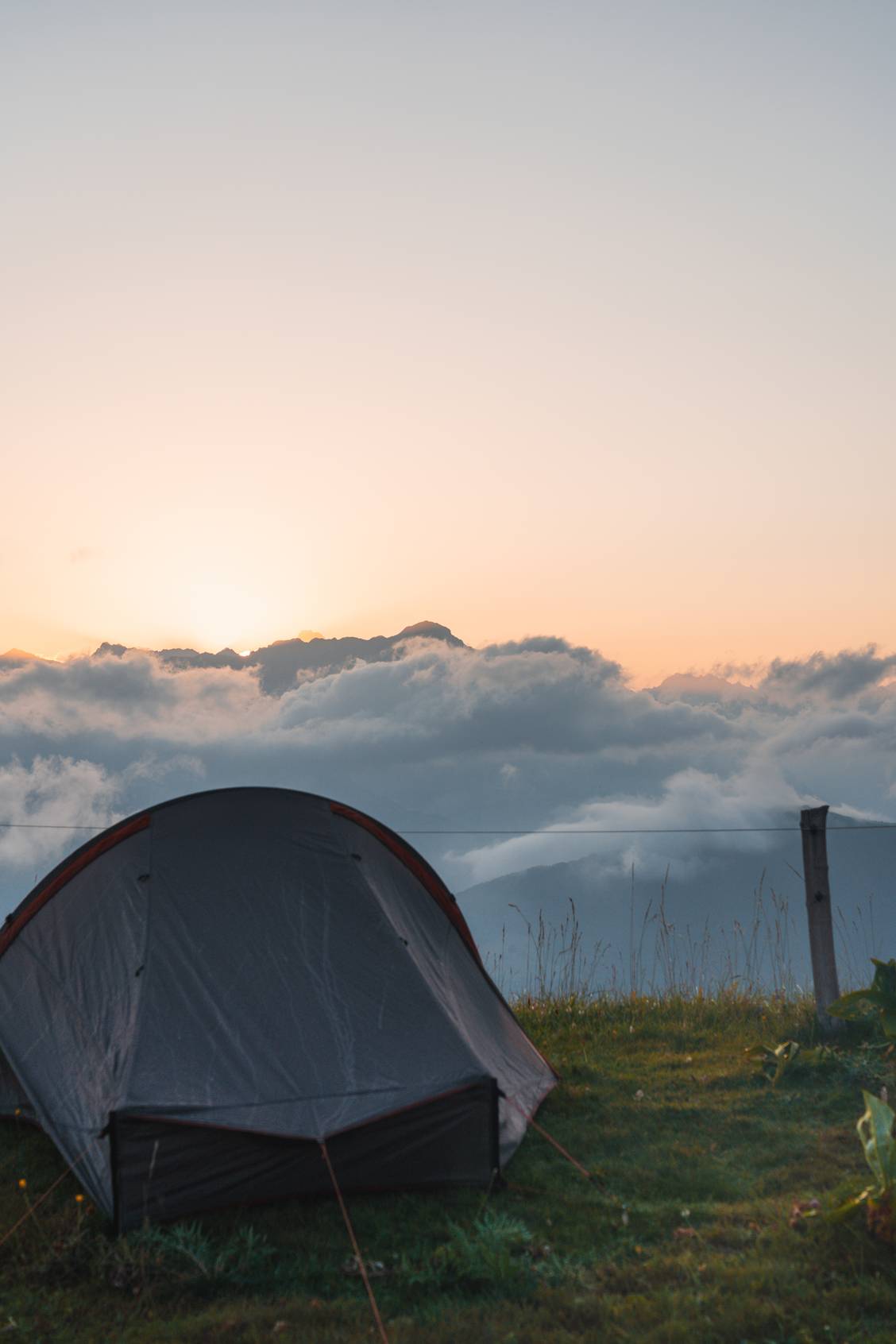
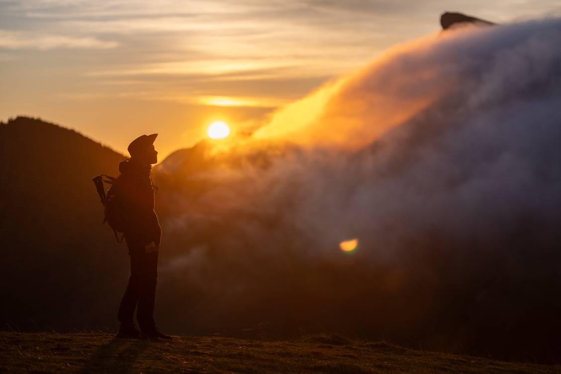
As the Tour de l’Obiou route runs primarily through areas where agriculture and pastoralism are active, you cannot simply set up camp anywhere. We have identified several locations where bivouacking is tolerated.
Pellafol
Bachilianne
Tréminis
The 10 Commandments of the Good Hiker:
- Early in the season, patches of snow can make certain sections dangerous.
- The route is not suitable for pet dogs.
- Check the weather forecast before setting out, especially for the risk of thunderstorms, which can make some streams impassable.
- Stick to the marked trails; do not cut across alpine pastures.
- Do not leave any litter behind, even biodegradable waste.
- Water sources are scarce: carry enough water, especially in summer.
- No fires: fires are strictly prohibited along the route.
- Close all gates behind you.
- Book your accommodation in advance to secure your overnight stop.
- In the event of an accident or emergency, call 112.
For more information:
Trail map available at tourist offices